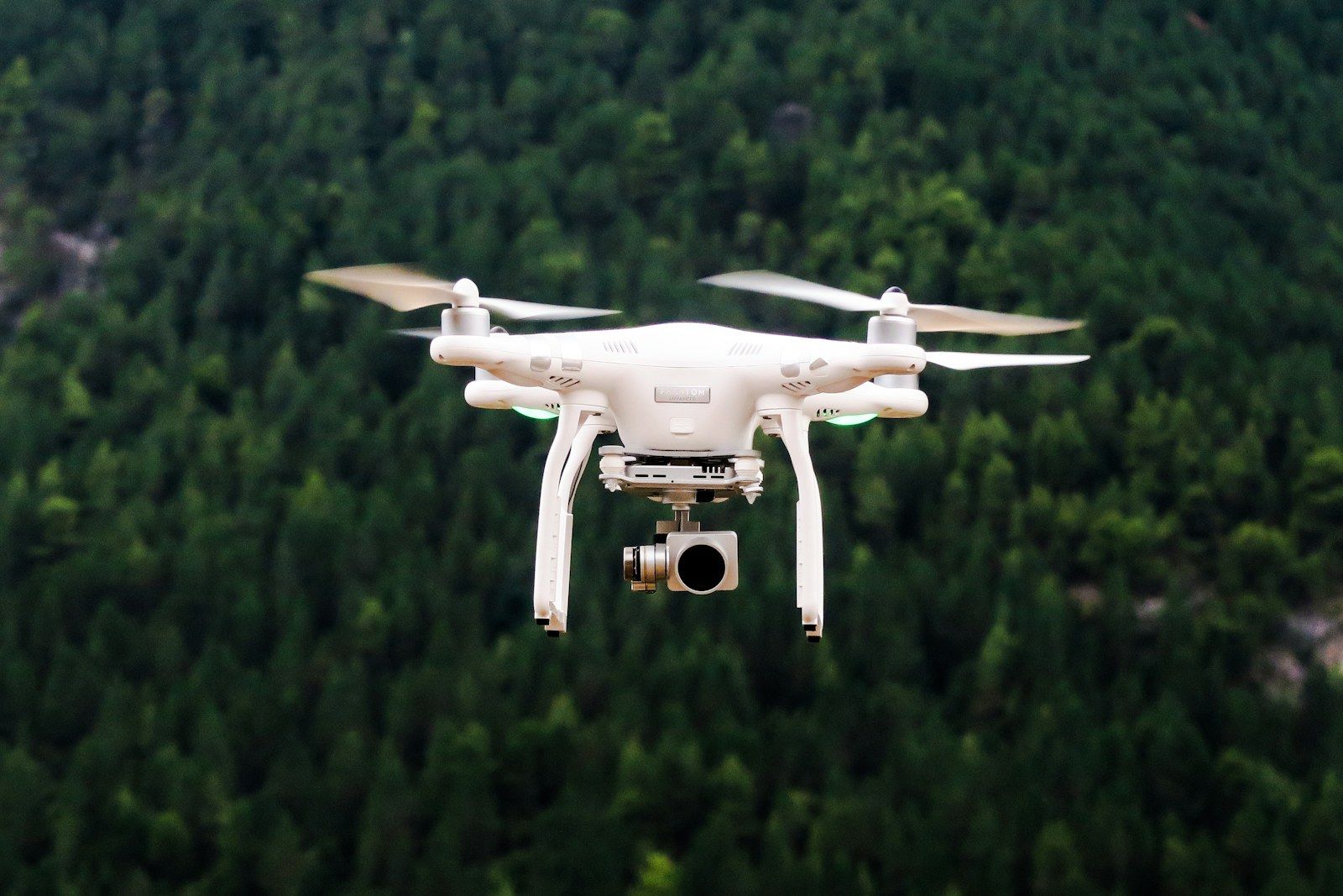
Photo by Jason Mavrommatis on Unsplash by Jason Mavrommatis Unsplash License
How to plan drone filming in Germany across location consent, public-space use, aviation rules, geo zones, privacy and backup shots.
Drone shots are often treated as a small add-on to a location agreement: fly up, capture an establishing shot, move on. In production, a drone shot is its own clearance package. A location owner can approve filming while the flight itself is blocked by a geo zone, airport proximity, uninvolved people, privacy constraints or weather. The reverse is also true: aviation permission does not replace the right to use a property, sidewalk, road closure or visible private area for filming.
The practical answer is simple: for drone filming in Germany, clear the location, public-space use, aviation rules, privacy and insurance separately. This is not legal advice; it is a production planning framework for producers, location managers and drone operators who need to ask the right questions before the shoot day.
A normal private property filming permission mainly answers whether the crew may film at a site, place people and equipment there, and use the location on camera. A drone adds questions about takeoff and landing, the airspace crossed, neighbouring properties, people captured from above and whether the pilot can operate within the applicable UAS rules.
For that reason, the drone should not appear only as a camera note in the call sheet. Put it into the first location request: intended altitude, route, takeoff and landing point, time window, safety distance, pilot, insurance and backup shot. The later those details appear, the higher the risk that an otherwise suitable location cannot be used as planned.
The owner or operator needs to understand that the shoot includes aerial filming, not only ground-based camera work. Spell out takeoff and landing zones, pilot and spotter access, safety areas, possible overflight of private areas and whether facades, courtyards, roofs or neighbouring properties will be visible. Villas, offices, industrial sites, hotels and residential complexes often treat drones as more sensitive than a tripod on the ground.
If equipment, crew, safety zones or the launch point sit on a sidewalk, road, square or park, a private location release is not enough. It becomes similar to the classic private location, public sidewalk filming permit problem: the city or municipality may require a special-use permit, traffic measures or additional conditions. That can also apply when the drone starts from public land to film a private location.
Airspace is governed separately from the location. DFS points drone operators to the central German information portal DIPUL, whose map tool shows geographic restrictions. The DFS drone FAQ notes that geographic areas can include residential properties, industrial sites, nature reserves, hospitals and areas around aerodromes. Near airports, airfields or control zones, responsible authorities or air traffic control clearance may be required in addition to the production-side permission.
A drone captures more than the selected frame. Windows, gardens, number plates, staff, guests or passers-by can become identifiable quickly. Clarify which areas may be visible, how the production will handle incidental people and whether sensitive spaces must be removed from the route, altitude or shot list. This matters on public-facing locations as much as on closed private sites.
Many small drone operations in Europe can fit into the open category when all limits are respected. EASA explains that the open category generally does not require prior operational authorisation, but subcategories, drone class, distance from uninvolved people, maximum altitude and registration duties still matter. For production planning, that distinction is practical: a lightweight establishing shot over controlled land is different from a flight over a busy street, close to people or in a dense urban environment.
When the operation leaves the open-category limits, the specific category may become relevant. EASA lists examples such as beyond visual line of sight, operations above 120 metres, heavier drones or certain urban scenarios. Then an operational authorisation, standard scenario, risk assessment or operations manual can become part of the preparation. Even then, geo-zone authorisation and location consent remain separate checks.
Every drone shot should start with a concrete map check. The DIPUL Map Tool is the sensible starting point because it brings location, geo zones and conditions together. Record the check with date, time, address, intended radius and responsible person. Around airports, aerodromes, control zones or temporary restrictions, the drone operator should provide traceable documentation rather than a casual verbal assurance.
A map check two weeks before the shoot does not replace a same-day check. Weather, wind, temporary flight restrictions, events, police operations or newly relevant conditions can stop a flight at short notice. Build a grounded alternative into the shot list: crane, high tripod, roof position, window angle, archive material or a lower moving shot.
When searching film locations with SetScout, mention the drone requirement early. Owners respond better when they understand the exact scope before the contract stage. A clean request avoids renegotiation and prevents the pilot from having to mediate between house rules and aviation rules on the shoot day.
Not every aerial shot is worth the clearance load. Drop or replace it when it only looks expensive but does not tell the story; when the location value is clear from the ground; when sensitive neighbouring areas cannot be kept out of frame; or when the approval path is longer than the shot’s value. For small social, corporate or content productions, a precise ground-level or rooftop shot can be more reliable than an aerial with unclear permissions.
The case is different when the drone provides real orientation: the scale of an industrial site, a waterfront position, distance to the city, arrival route, topography, roofscape or a movement bridge between two locations. Then it should be planned as its own setup with a time window, safety plan and accountable owner.
Drone filming rarely fails because of one single missing permit. It fails in the gaps between location consent, public-space use, aviation rules and image rights. Splitting those layers early makes owner communication clearer, gives the drone operator a realistic planning base and helps the production replace risky shots before the shoot day.
For location scouting, that means drone requirements belong in the first request. Do not search only for beautiful locations; search for locations whose owners, surroundings and logistics make aerial filming realistic. Start with suitable film locations in Germany and describe the drone scope clearly from the first message.
More posts you might be interested in
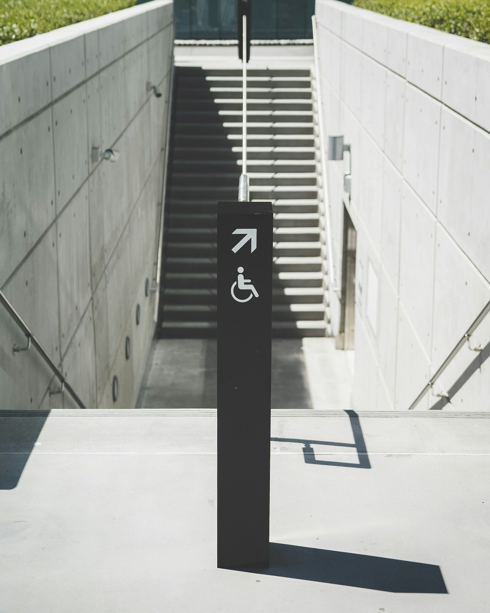
Photo by Joey Banks on Unsplash by Joey Banks Unsplash License
A practical access planning guide for productions and hosts documenting real routes, bathrooms, ramps, holding and limitations before booking.
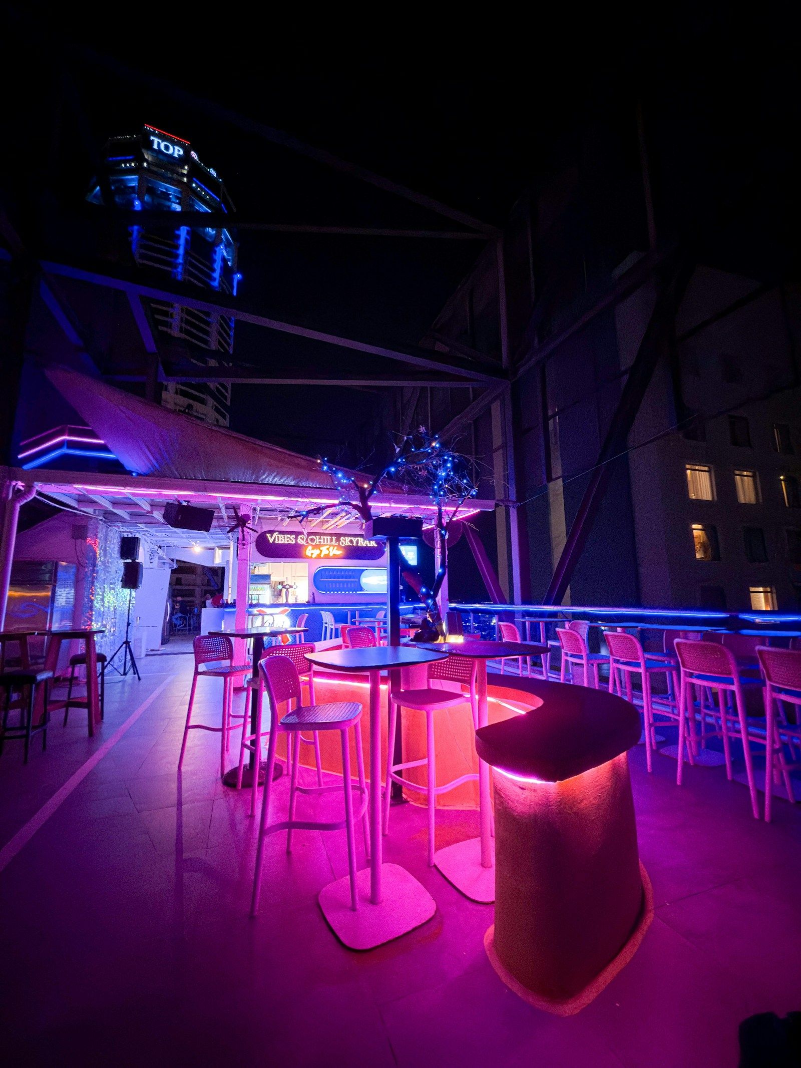
Photo by Ryan Liu on Unsplash by Ryan Liu Unsplash License
How productions should prepare bar, club and nightclub locations for music videos, fashion, commercials and nightlife content.
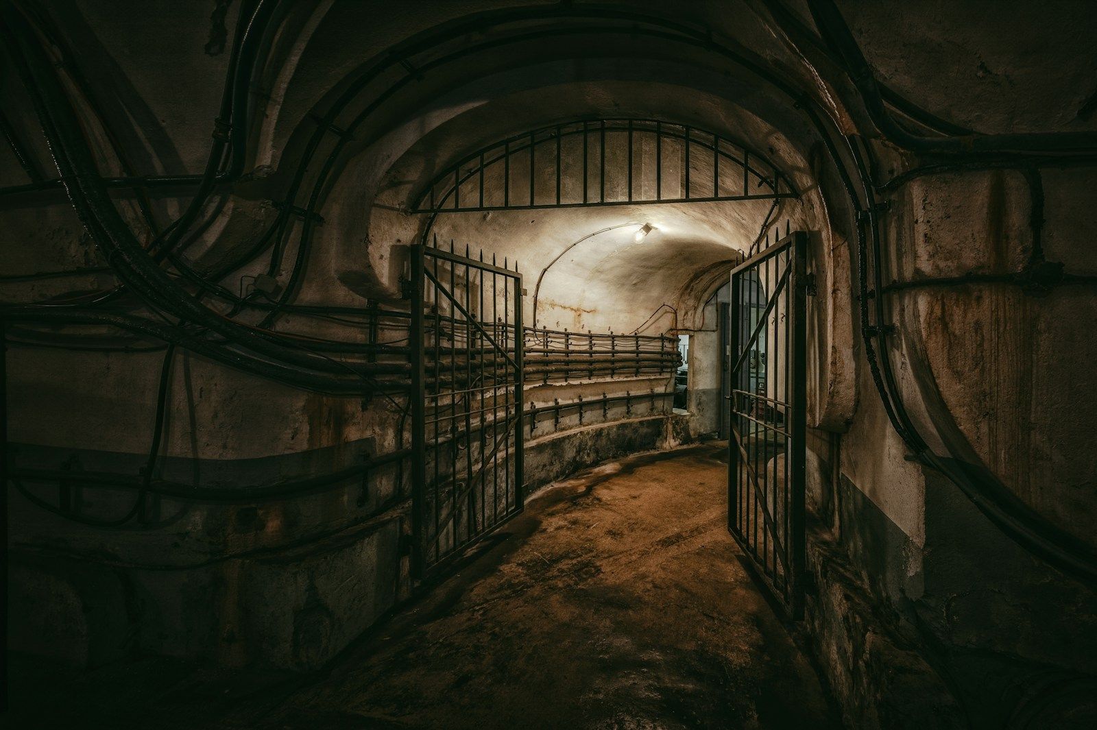
Photo by Peter Herrmann on Unsplash by Peter Herrmann Unsplash License
How productions should assess bunker, lost-place and special-motif locations without creating legal or safety risk.